We bring the future of surveying to the present with high-precision, technology-driven solutions that enhance accuracy, efficiency, and project intelligence.
DGPS (Differential Global Positioning System) : Achieves sub-centimeter accuracy for land mapping, infrastructure planning, and geospatial analysis.
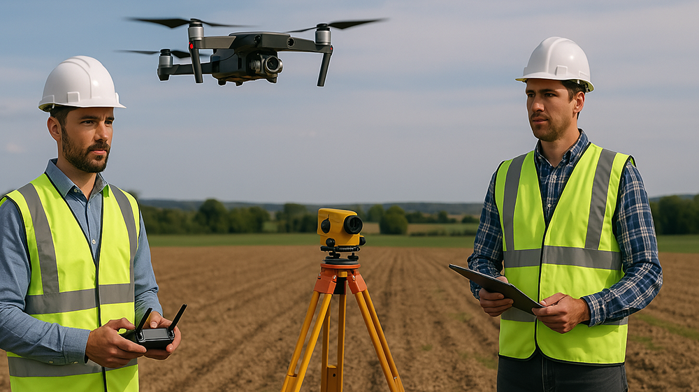
Total Stations : Combines electronic distance measurement (EDM) and angle calculations to deliver pinpoint accuracy for engineering, construction, and land development.
Drones for Aerial Mapping & Monitoring : Captures high-resolution topographical data, enabling rapid surveys, volumetric analysis, and real-time project tracking with minimal human intervention.
Seamless, data-driven, and future-ready—Engineering the next generation of smart infrastructure.